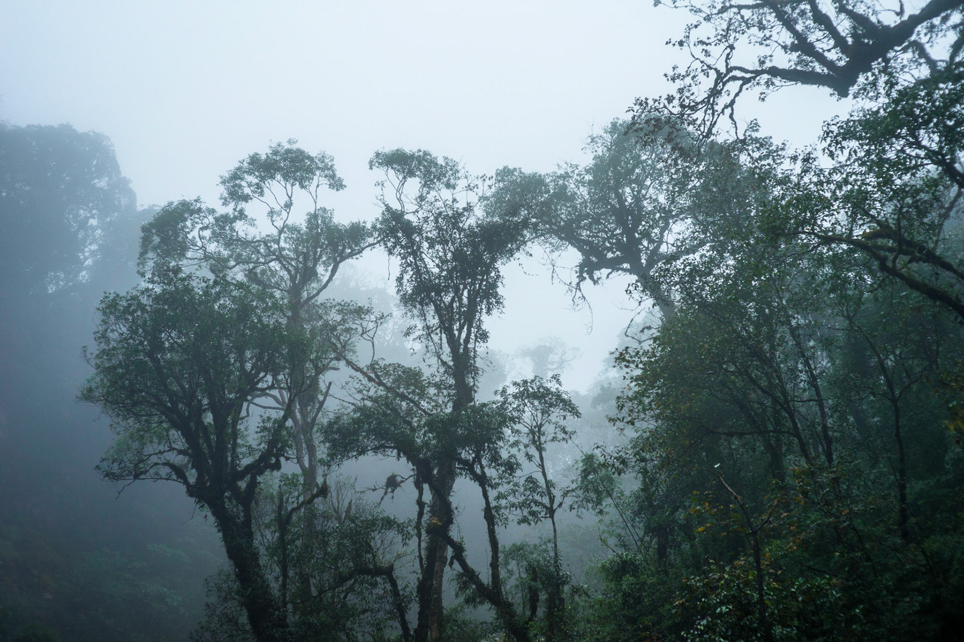
This area is comprised of mountains that run from the Sino-Vietnamese border to the west of Thanh Hoa Province. The resort town of Sapa is located within the Hoàng Liên Son Mountains, at an elevation of 5000 feet. These central mountains, which have several high plateaus, are irregular in elevation and form, providing some of the most spectacular scenery in Vietnam. This part of the country is narrow and very rugged; the country's highest peak, Fan Si Pan, "the Roof of Indochina,” rises to 3,142 meters in the extreme northwest.
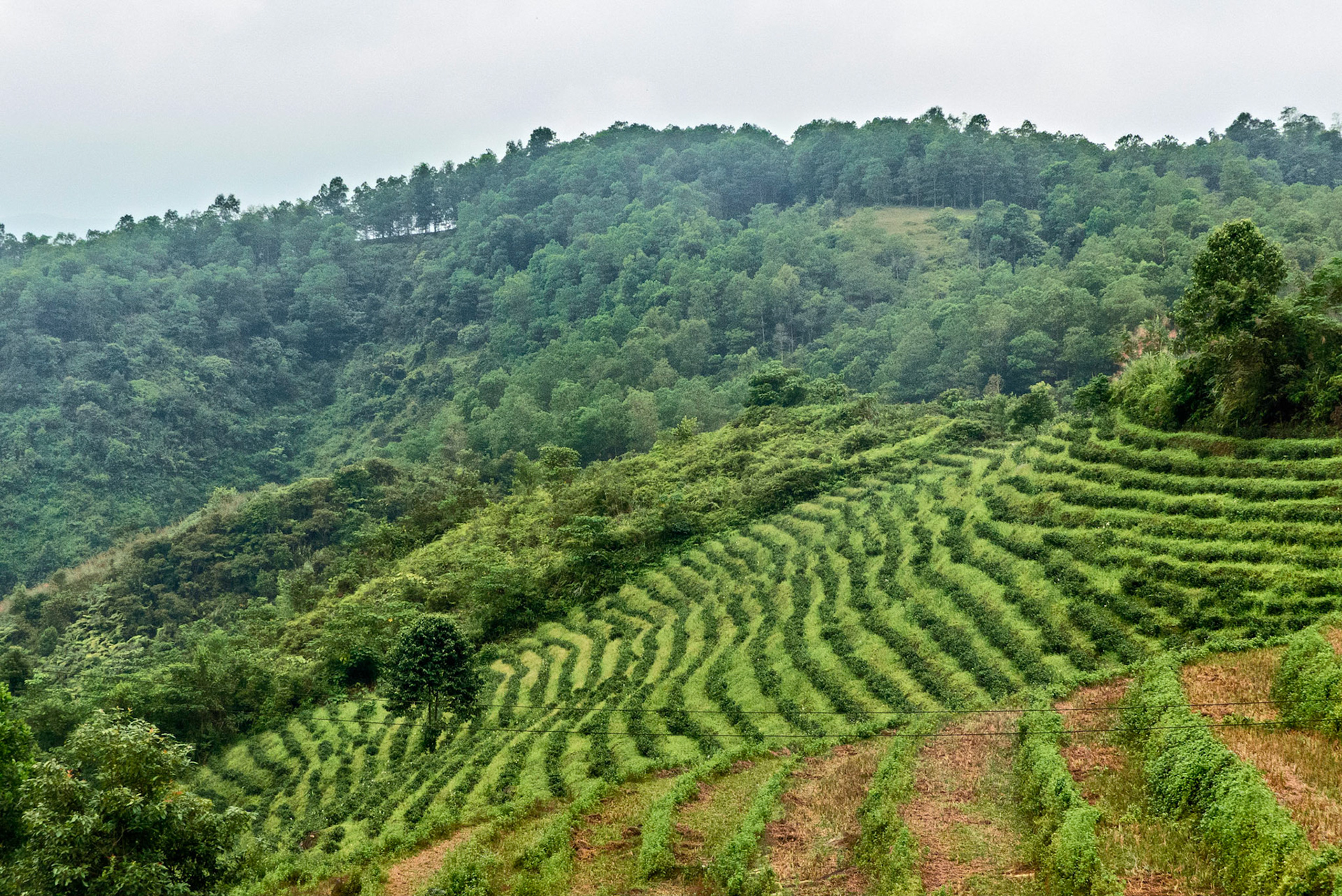
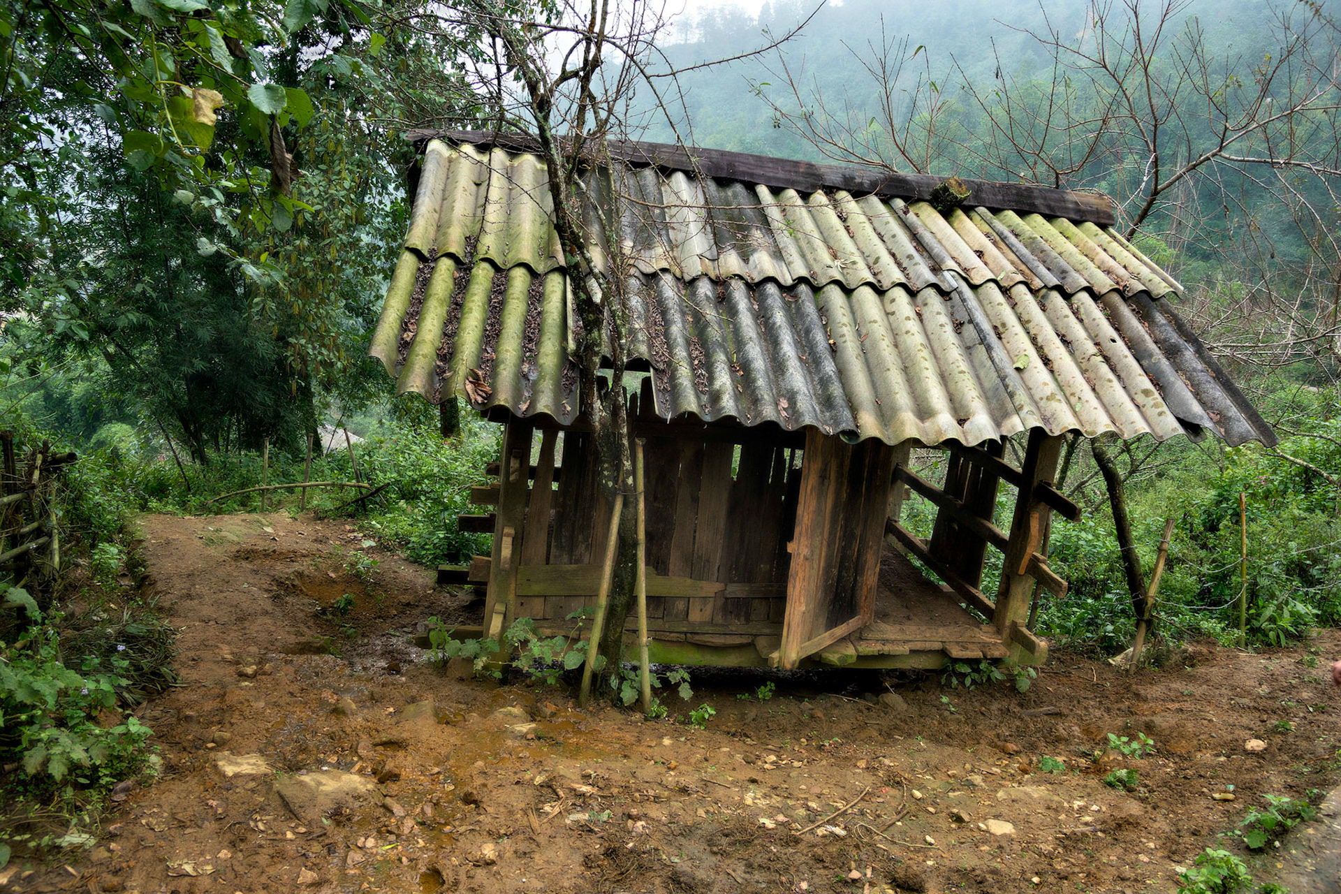
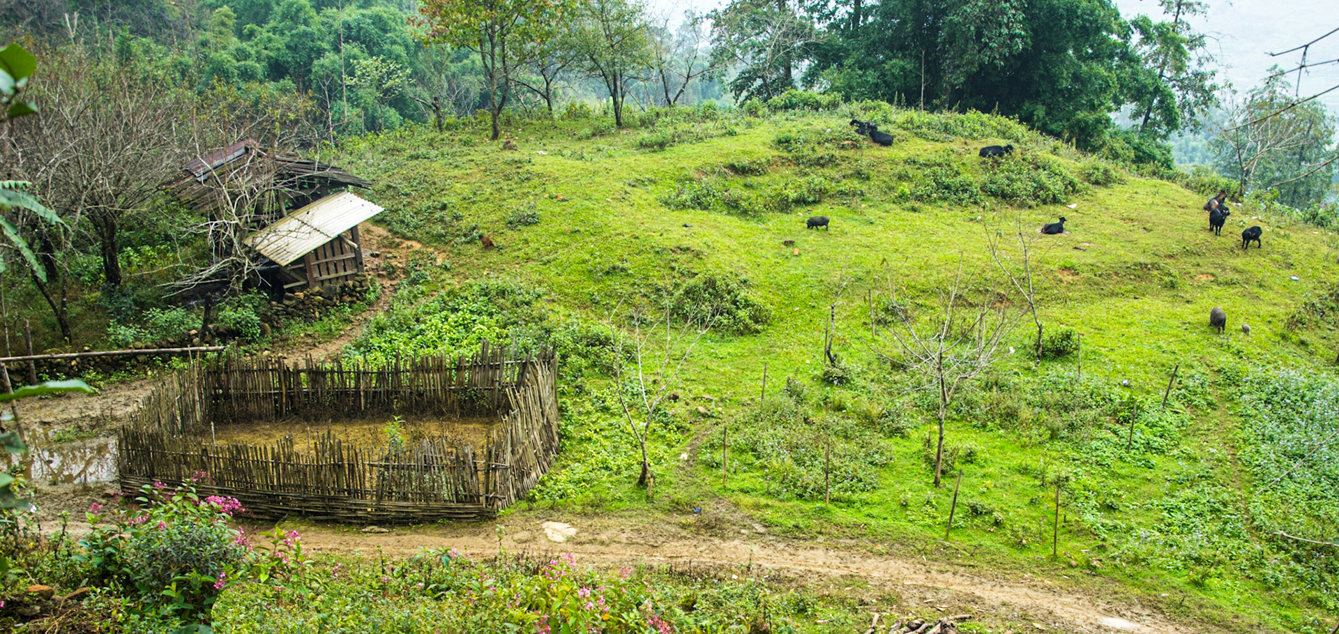
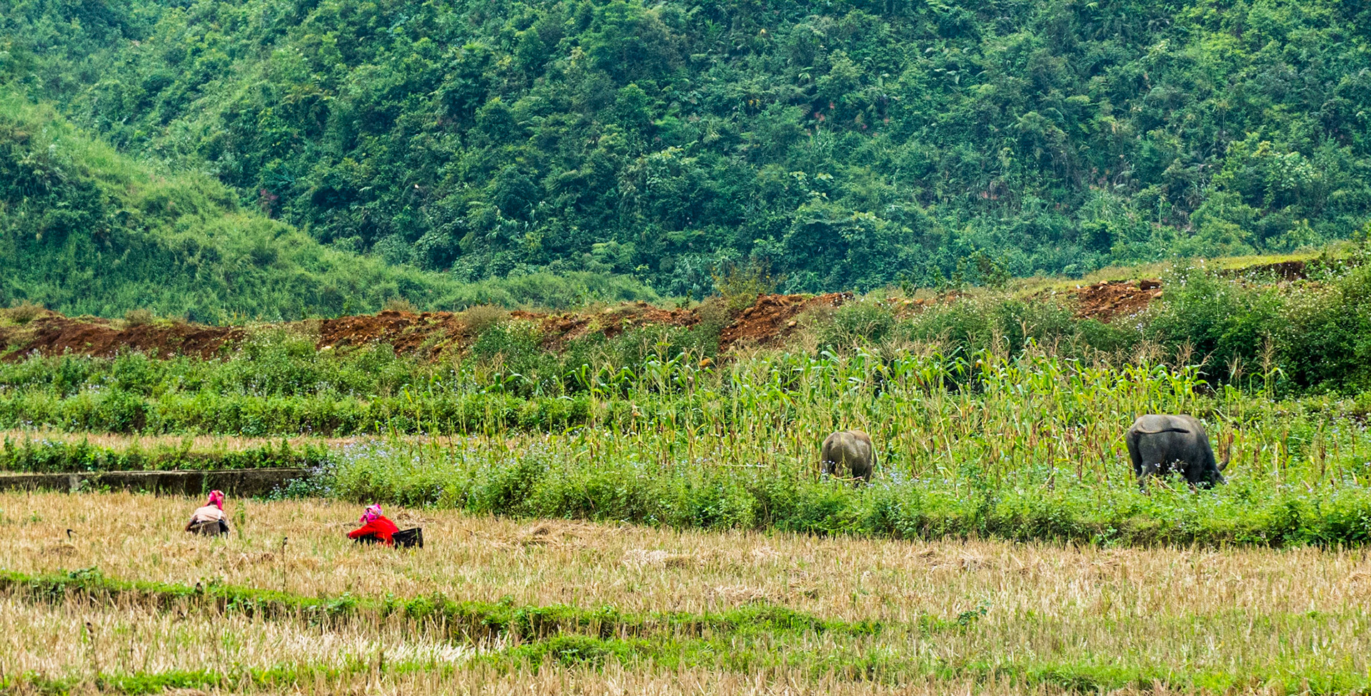
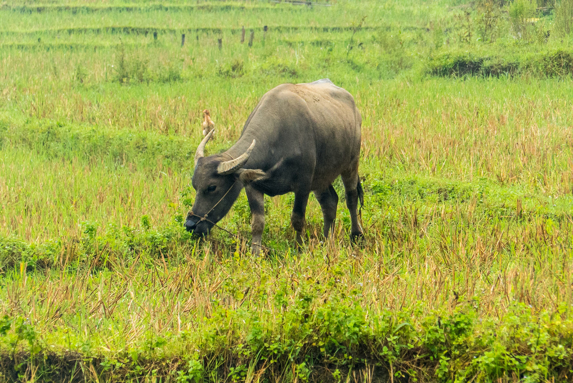
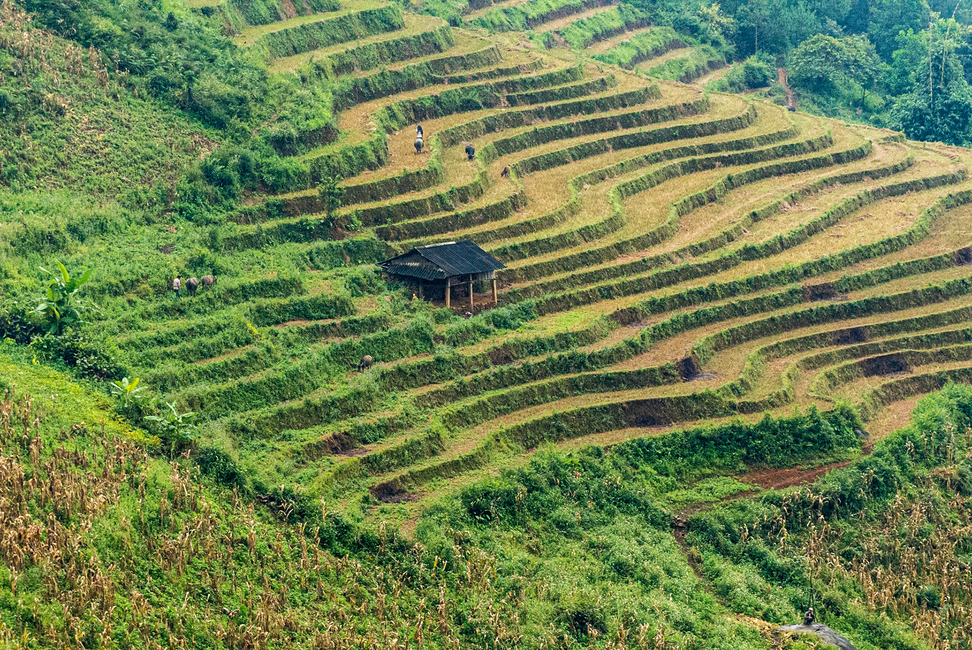
In this northwest region there are favorable conditions to develop wet rice cultivation. Thus, the characteristic activity in valleys is terraced paddy fields with a complex technical system irrigation.
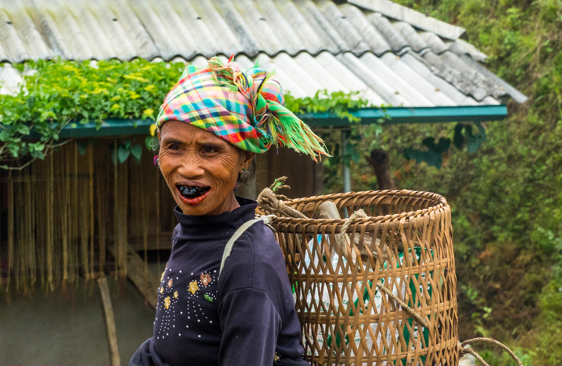
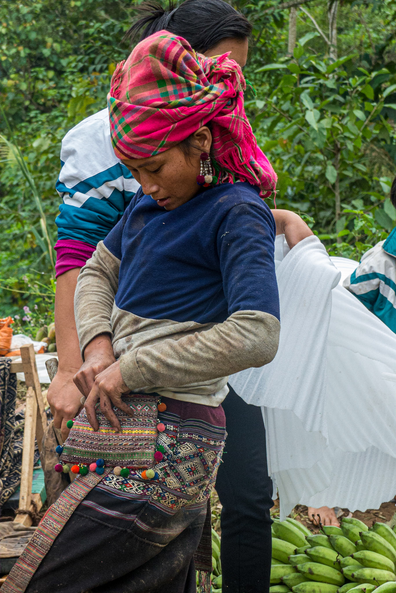
The Sierra Club expedition here entailed a visit to the mountain resort town of Sa Pa. While the scenery is stunning, Sapa is just as renowned for its intoxicating cultural makeup. The tiny villages dotted upon the hillsides are home to a diverse array of ethnic minorities, each with their own rich culture and customs. These hill tribes produce lovely hand-made ethnic clothes, textiles, and artisanal products.

The highlands and mountain plateaus are inhabited mainly by tribal minority groups, such as the H'mong, Dao, Kinh, Tay, Giay, Hoa, and Xa Pho. In addition to farming, residents also conduct animal husbandry, handicraft production, hunting, farming, fishing, and gathering forest products.


This portion of the trip entailed several hikes, including one to a small rural village, led by a native woman along a water buffalo trail. We also bicycled 10 miles down a twisting mountain road from Tram Tom Pass (Heaven’s Gate) through the dramatic mountain views of the Tonkinese Alps. The remainder of the cycling trip was along country roads through small farming villages.

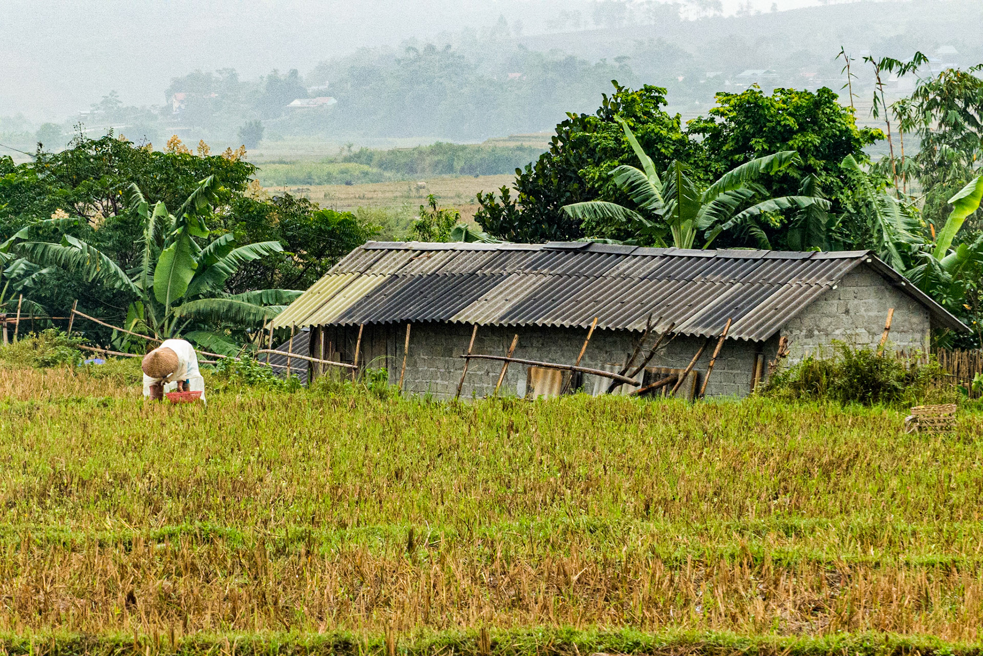
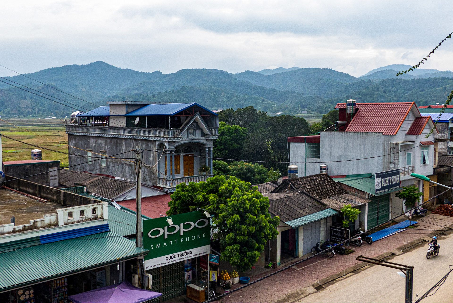
We spent one night in a small working-class town in Lai Chau Province, which may only see Westerners once every few months. The people were delightful.